KPEx-Home


Background
During the spring and autumn seasons, Taiwan experiences alternating cold and warm weather systems. In these periods, the wind fields surrounding the Kaohsiung-Pingtung (Kao-Ping) Air Quality Area are predominantly characterized by weak easterly and southeasterly winds. Air quality is primarily affected by local emissions and governed by the land-sea breeze circulation. The prevailing daytime sea breezes transport pollutants inland, while nighttime land breezes push them back toward the plains. This continuous recirculation leads to pollutant accumulation, making the air quality susceptible to prolonged degradation.
Topographically, the Kao-Ping Air Quality Area, encompassing Kaohsiung City and Pingtung County, is located on the southwestern to the southernmost tip of Taiwan, extending into the Bashi Channel. It is bordered by the Taiwan Strait to the west and shielded by the Central Mountain Range (CMR) to the east. Around the Fangshan area, the mountain elevation drops below 500 meters, allowing air flows from the eastern side of the CMR to frequently cross over the ridge. Consequently, areas south of Fangshan exhibit weather patterns typical of eastern Taiwan.
Because of these factors, the Kao-Ping Air Quality Area has historically been a region with relatively poor air quality in Taiwan. Although air quality has gradually improved over the years—for instance, the daily average of fine particulate matter (PM2.5) has decreased by 47% compared to 2013 (Fig. 1)—the 8-hour ozone (O3) concentration still frequently exceeds regulatory standards (Fig. 2). Currently, the Kao-Ping egion remains designated as a Class III Air Pollution Control Area for both PM2.5 and ozone. The underlying causes involve a complex interplay of atmospheric circulation, topographic effects, and emission sources. As illustrated in the schematic of regional and local circulation (Fig. 3), during spring, the upper atmosphere is influenced by the long-range transport of biomass burning air masses from Indochina (and South Asia), which can impact local air quality through downdrafts. In the lower atmosphere, the region is continually influenced by the Northeast Monsoon, topographic effects, and daytime sea breezes. Coupled with complex emissions from stationary, mobile, and fugitive sources, these factors collectively dictate the overall air quality in the Kao-Pingregion.
The objective of the Kao-Ping Experiment (KPEx) is to characterize the vertical distribution of air pollutants and their precursors, as well as the effects of atmospheric circulation. By integrating multi-perspective observations (satellite, ground-based, and aircraft data) and numerical modeling, the project aims to improve our understanding of the factors controlling air quality, thereby achieving precise improvement of air quality in the Kao-Ping region.


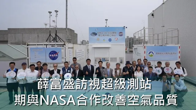
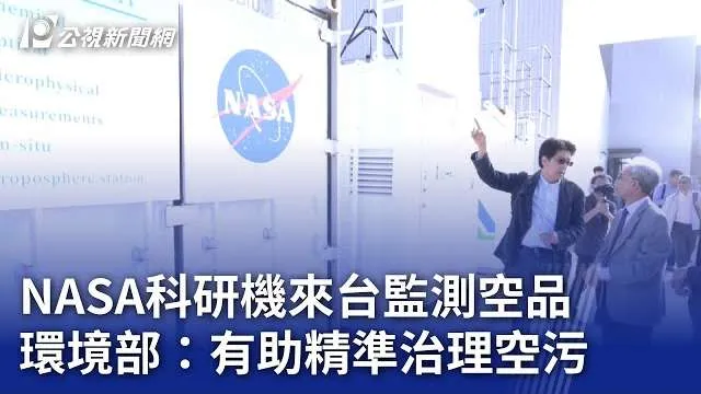
Taiwan has long participated in NASA's Seven SouthEast Asian Studies (7-SEAS) international experiment, conducting the Dongsha Experiment since 2010, the Son La Experiment from 2011-2012, and BASELInE from 2013-2015. In spring 2024, the downwind "Kao-Ping Experiment (KPEx)" was launched through a collaboration among Thailand, Vietnam, Taiwan, and NASA to investigate the transport and physicochemical processes of biomass burning emissions from upwind source regions in northern Indochina to downwind Taiwan, and their impacts on air quality and the environment. One of the primary focuses of KPEx is the study of air pollution and local circulation in the Kaohsiung-Pingtung area, integrating ground-based, vertical, and satellite remote sensing capabilities for three-dimensional intensive observations.
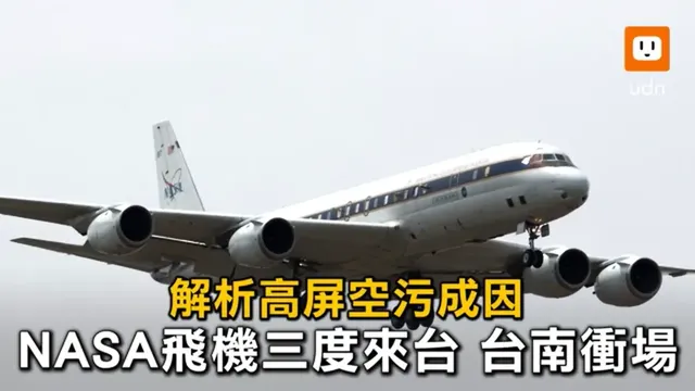
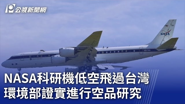
Simultaneously, from February to March 2024, NASA initiated ASIA-AQ (Airborne and Satellite Investigation of Asian Air Quality). ASIA-AQ is an international collaborative field study designed to investigate local air quality across regions and megacities. Specifically, the mission facilitates the integration of satellite remote sensing with existing ground-based monitoring and numerical modeling in Asia. Meanwhile, South Korea's Geostationary Environment Monitoring Spectrometer (GEMS) provides hourly observations with a spatial resolution of 3.5 km x 8 km, offering a new perspective on air quality from space while complementing and enhancing the resolution of ground-based monitoring data within its coverage. NASA deployed two research aircraft (DC-8 and GV) to conduct flight missions at 3-5 selected locations in Asia during the spring of 2024. These missions were designed to collaborate with participating countries to meet local needs while assisting in the calibration of GEMS to improve its accuracy.

